GIS Technology Applications in Environmental and Earth Sciences - Natural geography

Breaking

Post Top Ad

Your Ad Spot

Wednesday, January 2, 2019

GIS Technology Applications in Environmental and Earth Sciences

GIS Technology Applications in Environmental and Earth Sciences

GIS Technology Applications in Environmental and Earth Sciences.jpg


 A Geographic Information System (GIS) is a computer system that helps users to collect, process, edit, store, manage, share, analyze, model, and visualize large volumes of datasets to understand spatial relationships, patterns, and trends, and make educated and sound decisions. The two key words in its name, “geographic” and “information,” make GIS a unique technology, different in many ways from other traditional cartographic mapping and data management systems and applications. “Geographic” (also known as geospatial or spatial) means that GIS mainly deals with spatial data features, which are in one way or another references to locations on the earth, such as sampling location points, utility lines, and land parcel polygons. By manipulating spatial data layers (also known as themes), GIS is capable of producing maps similar to other mapping systems, such as a computer-aided design and drafting (CADD) system.

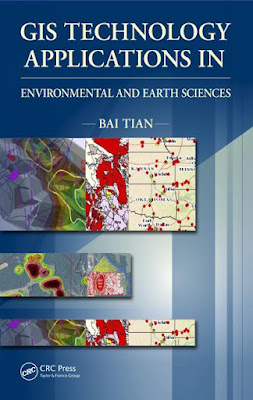

In addition to mapping capabilities, GIS incorporates tabular data (i.e.,“information”) and links information to spatial data features (e.g., attaching analytical results to sampling locations) to enable data analysis, modeling, and visualization for better understanding of data and making decisions. For example, by analyzing the population/demographic information, traf c, existing business, and client data layers of an area with a GIS, a business owner or manager will be able to identify the best locations for businesses, such as shopping centers, restaurants, hotels, of ces, warehouses, service facilities, and so on. For an environmentally impacted area, by analyzing historical and current aerial photos, sampling results, water wells, hydrology, geology, biology, census, parcels, and other related datasets, scientists and decision-makers can better understand the site history and its current conditions; evaluate its risks to ecosystems, the environment, and human health; model or simulate its possible future impacts; and design the most appropriate remedial approaches to mitigate the situation and clean up the site


No comments:

Post a Comment

Post Top Ad

Your Ad Spot

Pages