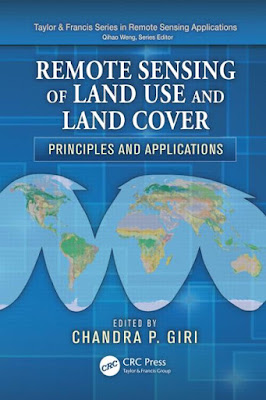
REMOTE SENSING OF LAND USE AND LAND COVER
Land-cover characterization, mapping, and monitoring are the most important and typical applications of remotely sensed data. The availability and accessibility of accurate and timely land-cover datasets play an important role in many global change studies. Several national and international programs have emphasized the increased need for better land-cover and land-cover change information at local, national, continental, and global scales. These programs, such as the International Geosphere–Biosphere Program (IGBP), U.S. Climate Change Science Program, Land Cover and Land Use Change (LCLUC) program of the National Aeronautics and Space Administration (NASA), Global Land Project, Global Observation of Forest and Land Cover Dynamics (GOFC/ GOLD), and Group on Earth Observations (GEO), have been in the forefront of framing scientific research questions on land-change science.
Examples of application at global, continental, and national scales from around the world have been provided. Overall, the book highlights new frontiers in remote sensing of land use/land cover by integrating current knowledge and scientific understanding and provides an outlook for the future. Specific topics emphasize current and emerging concepts in land-use/land-cover mapping, an overview of advanced and automated land-cover interpretation methodologies, and a description and future projection of the major land-cover types of the world. The book offers a new perspective on the subject by integrating decades of research conducted by leading scientists in the field. The book is expected to be a guide or handbook for resource planners, managers, researchers, and students at all levels and a valuable resource for those just starting out in this field or those with some experience in the area of land-use/land-cover characterization and mapping. The book also contains some advanced topics useful for seasoned professionals. It can also be used as a textbook or as reference material in universities and colleges.


No comments:
Post a Comment